Take a 45-mile helicopter flight over Charleston’s shoreline, lighthouses, USS Yorktown, and Rainbow Row for stunning coastal views.
|
|
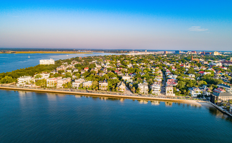
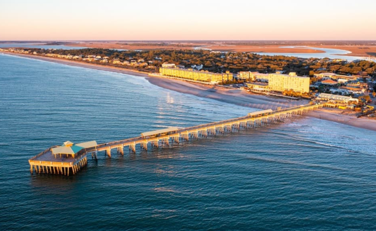
See Charleston from a perspective few ever experience. This helicopter tour spans 45 scenic miles, offering breathtaking aerial views of the city’s coastline, waterways, and historic landmarks. From lift-off, the beauty of Charleston unfolds below, combining sparkling rivers, pristine beaches, and iconic architecture into one unforgettable journey.
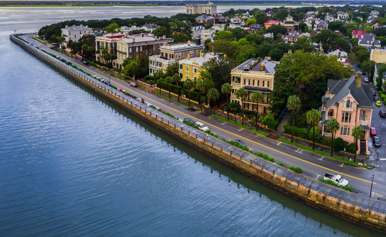
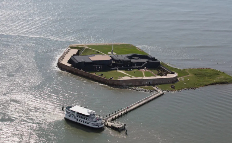
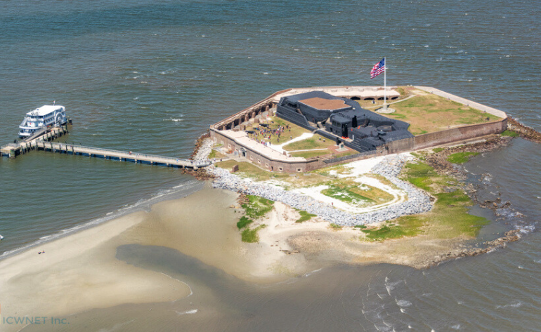
The flight glides over the Lowcountry’s natural wonders, including the Stono River, Folly Beach, the Atlantic Ocean, and the Cape Romain National Wildlife Range. Historic sites come alive from above, with flyovers of Morris Island Lighthouse, Fort Sumter, Fort Moultrie, Sullivan’s Island Lighthouse, and the legendary USS Yorktown. Charleston Bay shimmers beneath the helicopter, while the Arthur Ravenel Jr. Bridge stretches across the water and the colorful charm of Downtown Charleston and Rainbow Row emerges in vivid detail.
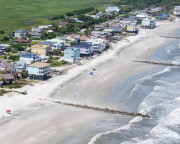
Beyond the city, the flight continues along the scenic shoreline and open waters, revealing coastal marshes, wildlife habitats, and quiet islands that highlight Charleston’s natural beauty. Departing from Charleston Executive Airport, with free parking available in the Interstate Turbine lot, this 45-mile helicopter tour is ideal for visitors or locals seeking a fresh, sky-high perspective. Every mile offers new views and unforgettable photo opportunities—a stunning journey along Charleston’s coast from above.
Book your Helicopter Tour over Charleston Shoreline today.
Charleston Executive Airport (Charleston)


 Adrenaline
  Adrenaline